Avarua › South: Rarotonga Airport
 Avarua, Cook Islands
Real-Time Environment
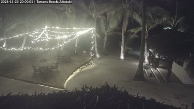
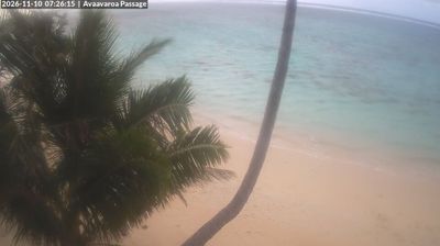
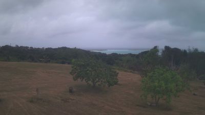
Welcome to the live streaming webcam for Avarua › South: Rarotonga Airport, perfectly situated in the vibrant region of Avarua, Cook Islands. Watching this live camera allows you to instantly experience the local atmosphere and monitor current climate conditions.

About Avarua
Avarua is a district and township in the north of the island of Rarotonga, the largest island of the Cook Islands. It serves as the capital of the country and is divided into 19 tapere (sub-districts). It is an important commercial and economic centre, with the country's main airport and harbour (Avatiu) here. The district had a population of 5,120 in the 2021 census.
📖 Read more on Wikipedia📍 Location Facts
-
Country
 Cook Islands
- Region Rarotonga
- City Avarua
- Coordinates -21.2003°N, -159.7971°E
Have you been to Avarua?
Help the community! Share your experience, tell us about the weather, or upload your own photos from this exact location.